Shallow and Large Void Mapping (Tunnels, Karst, Mine Workings)
Shallow Void Mapping
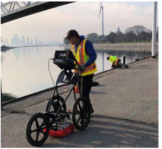
The most common request relates to mapping voids under slabs using ground penetrating radar and the smaller antennas. It is extremely fast and efficient when there is an experienced operator who performs interpretation while on site and chalks the floor with void locations. An area the size of 2,000 to 5,000 square meters can be scanned in a day.
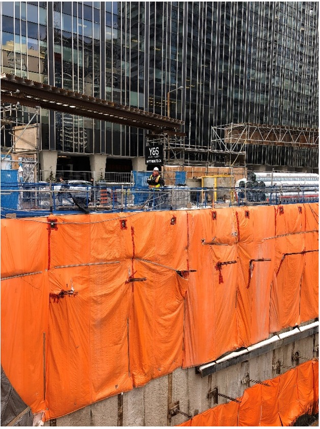
Scanning along a sheet pile wall for tiebacks and voids.
Example below: In a matter of a few hours the below example output shows the areas with voids as water from a watermain break followed a trench and washed out the fine material under the slab. The actual scan area was triple what is shown and scanned in less than a day.
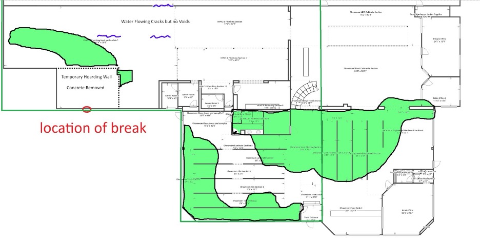
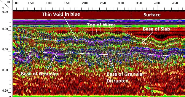
Floor Slab example, hundreds of profiles are interpreted in real time
Scanning a shoring wall or parking garage walls to find the source of sinkholes outside the building.
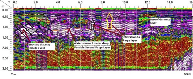
Scanning the face of a dam to find areas of water infiltration behind the old parging.
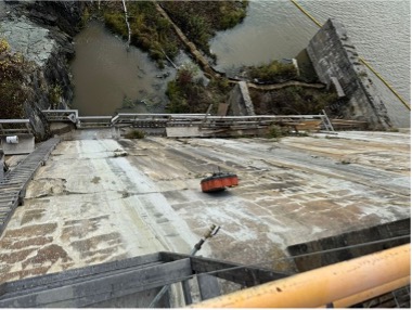
Water infiltration through a Dam
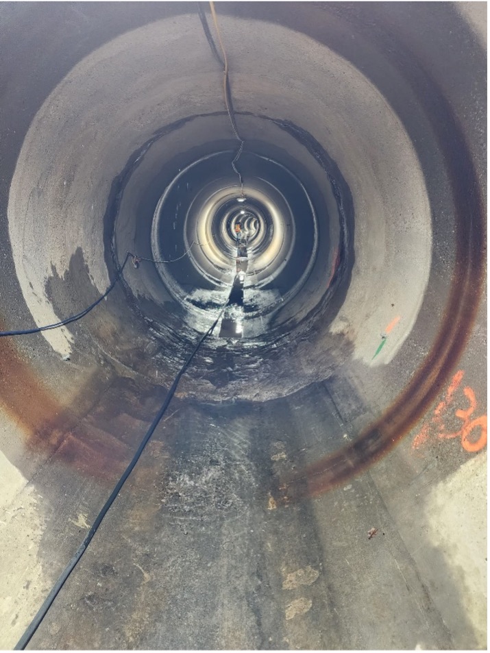
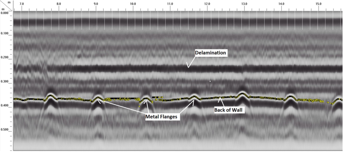
Tunnel Scanning for voids and delamination
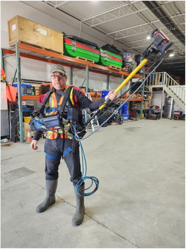
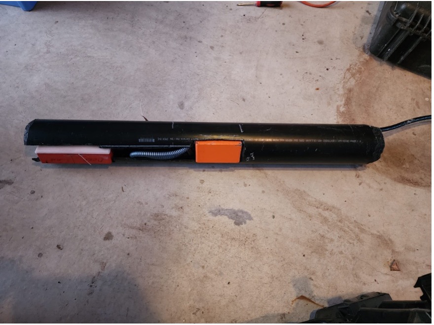
Pipe Antenna
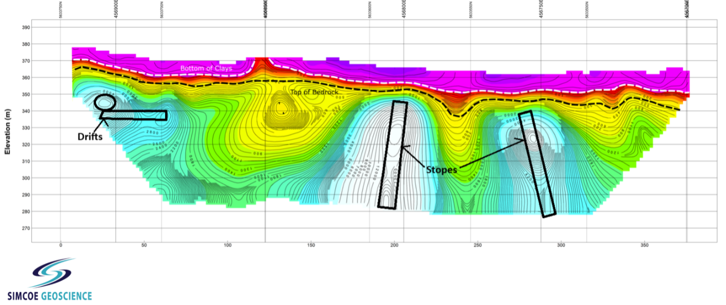
Deep Void Mapping
Example: Mine Stope – many kilometres can be collected along roadways and rail lines in a day.
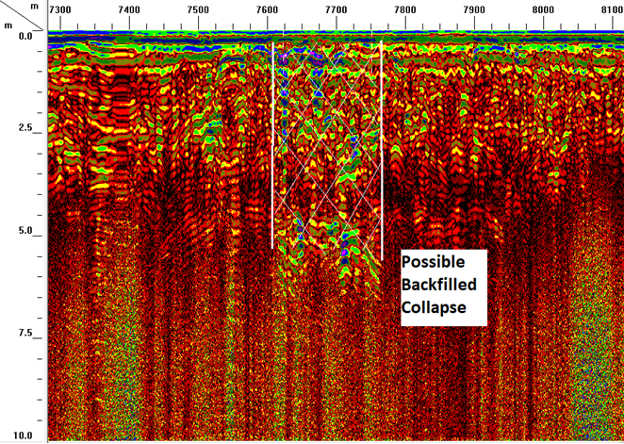
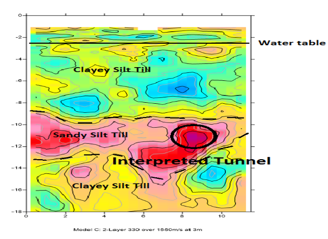
Specialty Seismic Imaging Example for locating tunnel
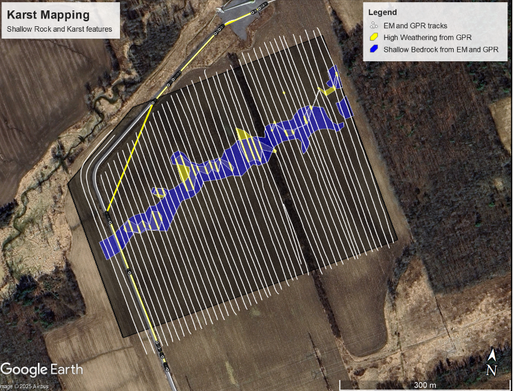
Karst Mapping over a large area using Electromagnetics and GPR
Resistivity for Locating Mine Workings over swamp, less than 10 meters of crown pillar